Our Mission
Resources
headerAbove: False
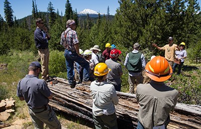
Community Leaders
See how and why your community should prepare for a wildfire.
State and Federal Partners
Find National, State, and Regional resources.
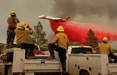
Fire Departments
Learn more about ways to assist your local communities.
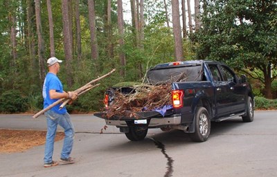
Home Owners
Learn more about the steps you should take to protect your home and property.
Curious About Your Risk?
Enter your address or zoom into a location on the map to get an assessment of the likelihood of a wildfire for that location. For more detailed information on the assessment or wildfire risk at a specific location, go to the Risk Explorer.
Tools
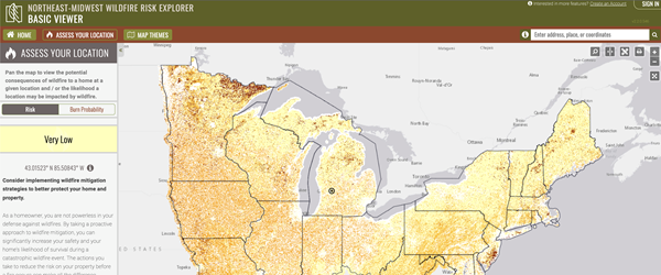
Northeast-Midwest Wildfire Risk Explorer
The Northeast-Midwest Wildfire Risk Explorer (known as the “Risk Explorer”) is the primary mechanism to deploy wildfire risk information and create awareness about wildfire issues across the state. It comprises a suite of applications tailored to support specific workflow and information requirements for the public, local community groups, private landowners, government officials, hazard mitigation planners, and wildland fire managers. Collectively these applications will provide the baseline information needed to support mitigation and prevention efforts across the state.
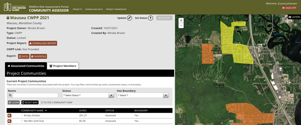
Community Assessor
The Community Assessor provides community mapping, mobile hazard assessment and rating, record review, record filtering and output in a way that supports the development of CWPPs and Firewise Recognitions. This tool is used by NMSFA, fire departments, home owner's associations, and other groups to support CWPP development.
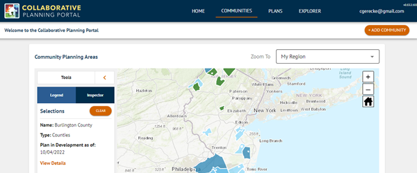
Collaborative Planning Portal
The Collaborative Planning Portal provides tools and information to assist with community wildfire protection planning and CWPP development throughout the Northeast-Midwest region. This tool is used by state forestry agencies.
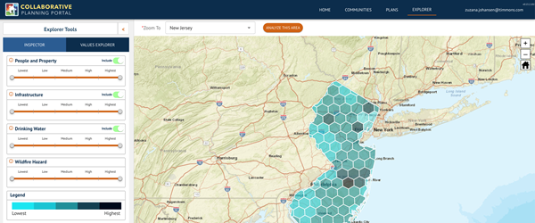
Values Explorer
The Values Explorer tool is designed to show the distribution and density of highly valued resources and assets (HVRAs) in your areas of interest, in combination with wildfire hazard potential (WHP). The Values Explorer is a planning tool designed for users to help prioritize projects such as fuels reduction and wildfire mitigation projects by focusing on specific HVRAs of interest and density of assets within specific areas. This tool is used by state forestry agencies, regional planners, and wildfire mitigation specialists.
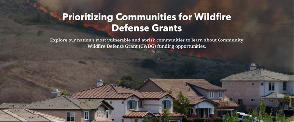
Prioritizing Communities for Wildfire Defense Grants
The Prioritizing Communities for Wildfire Defense Grants StoryMap is focused on visualizing at-risk, vulnerable, and disadvantaged communities to help highlight funding opportunities for grant-based programs (including the Community Wildfire Defense Grants (CWDG)).
Contact Us
NMSFA is here to be of service to you. Let us know what you need!
Required fields are marked with an asterisk (*).


